IFIS
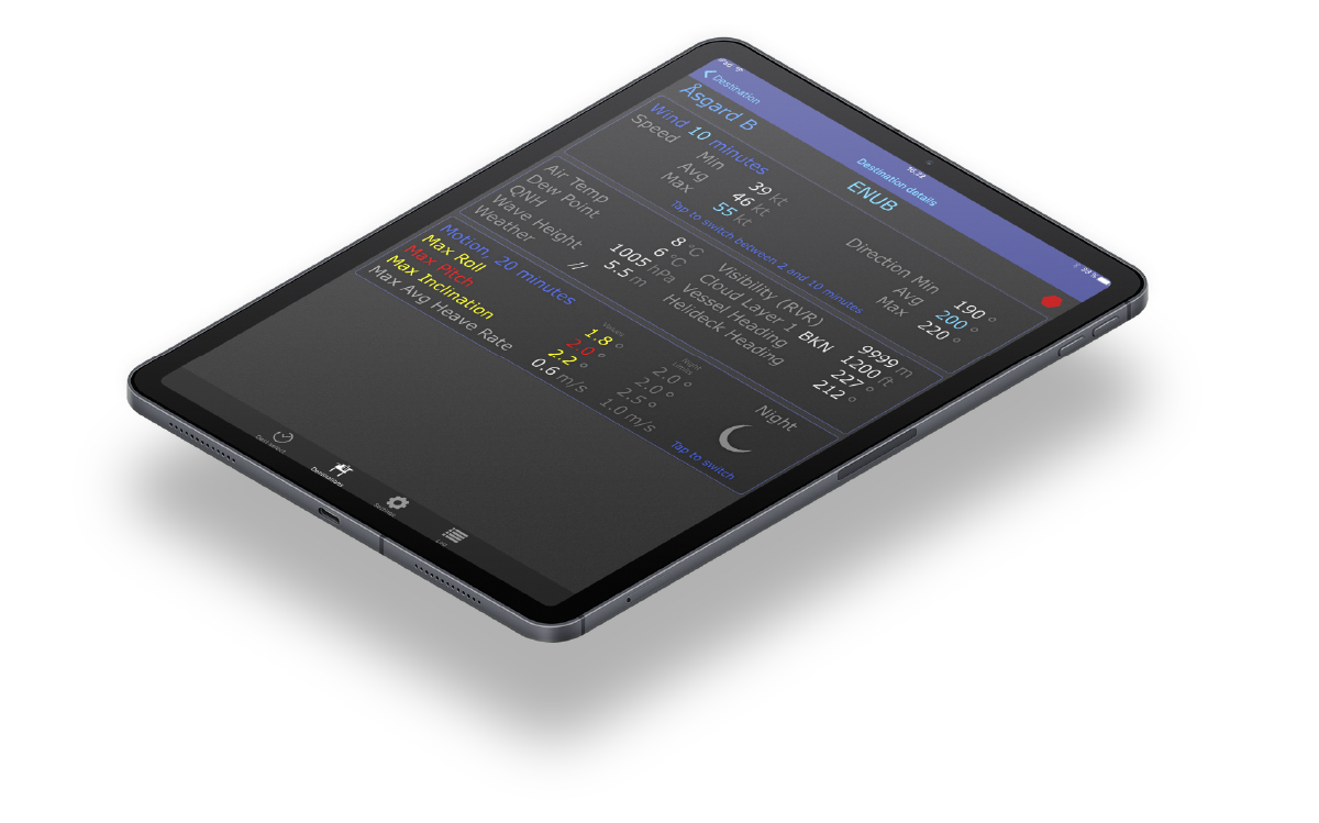
In-Flight Information Services with IFIS technology in the cockpit allows pilots to have first-hand direct access to live meteorological data at the landing site.
A standard Apple iOS iPad is used to interact with the pilots and the software can be installed alongside EFB (Electronic Flight Bag) software already running on the same iPad. MM Aviation can also offer the same service on additional mainstream platforms running on Android or Microsoft.

Our IFIS service utilises any type of on-board communications infrastructure (e.g. GSM, WiFi, Iridium etc)
The IFIS system and services is designed to collect data from a multitude of sources such as AFTN and any type of AWOS, SAMOS and HMS (Helideck Monitoring System)


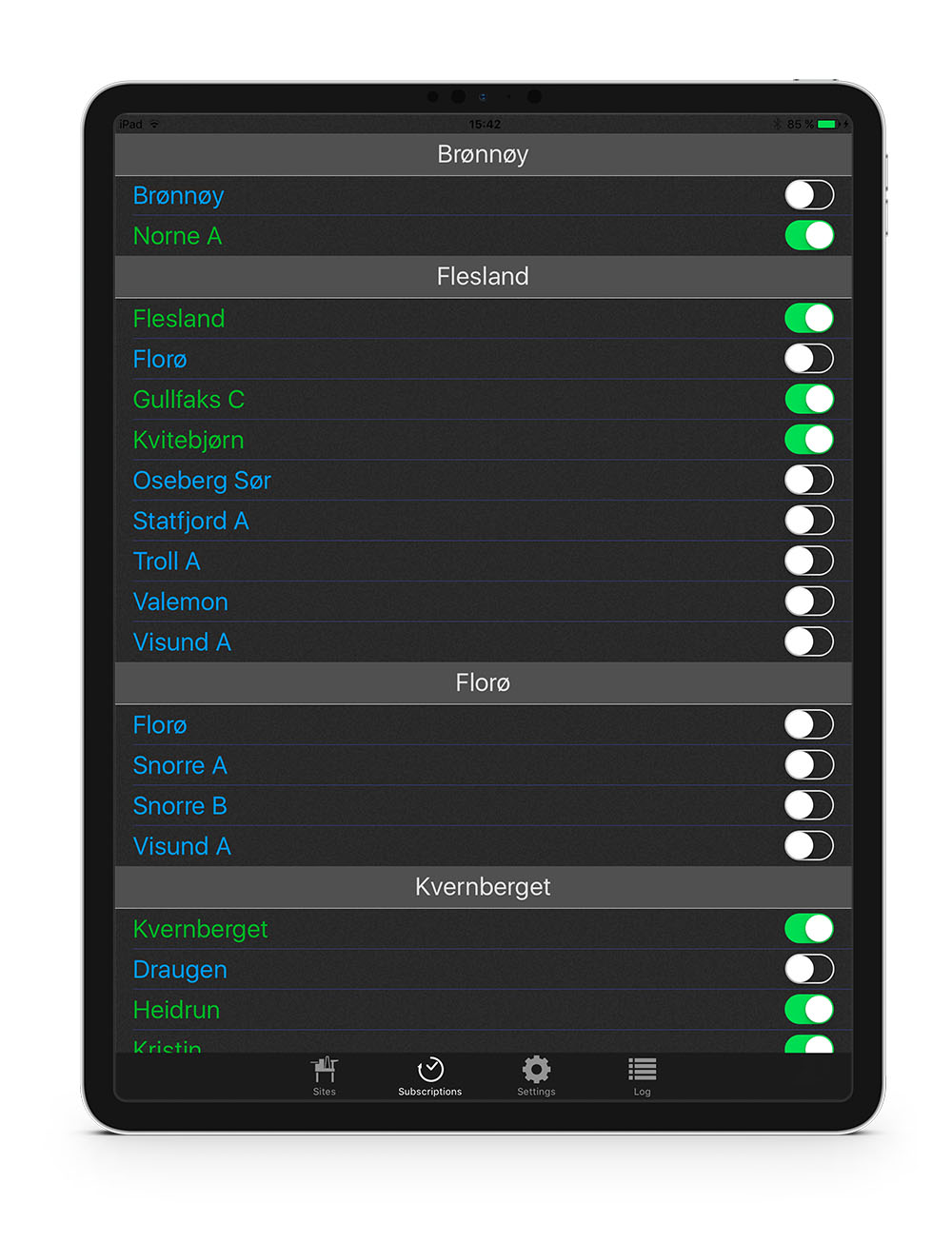
Select Destinations
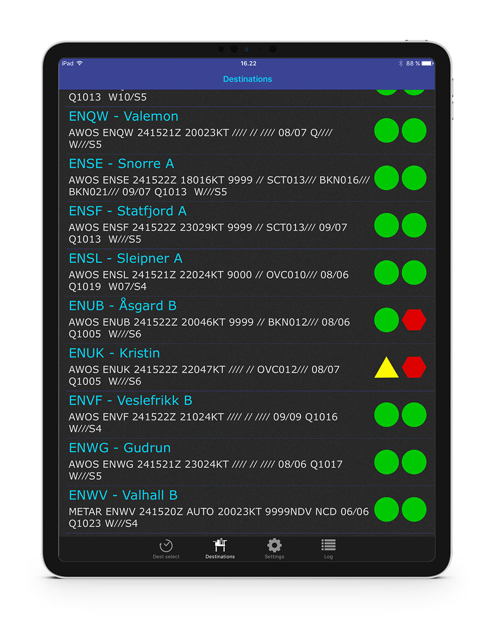
Destination Sites
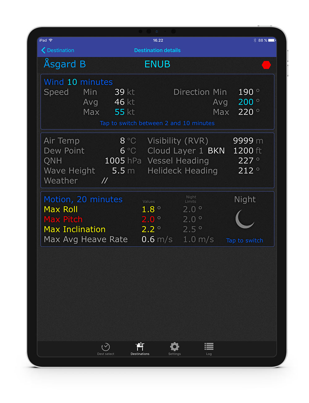
Status Display
The information system will cover a large range of possible destinations. It will cover both primary destinations according to flight plan, alternate and emergency destinations.
Selected destination sites are listed with the associated METAR string (to give the pilots an overview at a glance).
Each site is flagged with Green, Yellow or Red according to predefined operating conditions for the destination in question.
Two flags are offered covering night operation and day operations.
Detailed information about meteorological data at the landing site. The display includes the METAR, TAF (if available from the landing site), movement of the landing site if available (typical for floating offshore platforms)
This view expands on the METAR view with a clear text presentation of the meteorological data.
- Select Destinations
- Destination Sites
- Status Display


